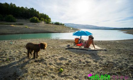
Are you in need of a break from that beach lifestyle and need some more nature in your life? Well, this article might be for you.
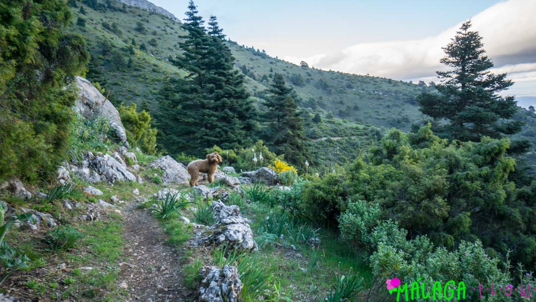
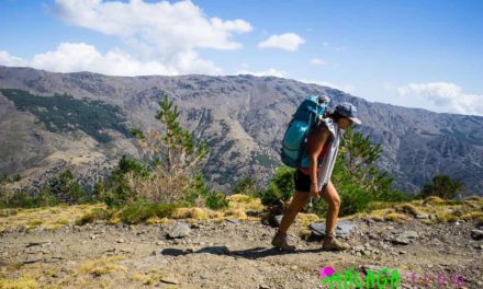
After just returning from an amazing weekend of camping and hiking in La Sierra de las Nieves. The MF team decided we needed to share the love as this place is truly amazing and not that far from downtown Málaga.

Here are a few recommendations on some trails to get out and enjoy some amazing scenery only Málaga has to offer. But first…
Why you should visit here:
The Pinsapo or Spanish Fir is a one of a kind tree only found here in Andalucía Spain. Particularly found only in Sierra Bermeja and Sierra de las Nieves, this tree has been around before the Ice Age, but is considered endangered.
Despite the reforestation effort that has raised the tree count immensely, a fungus has been attacking the tree population. The local government has responded by deciding to burn the affected areas to stop the spread. While ecologists have called for seed bank to help continue the legacy of the tree species.
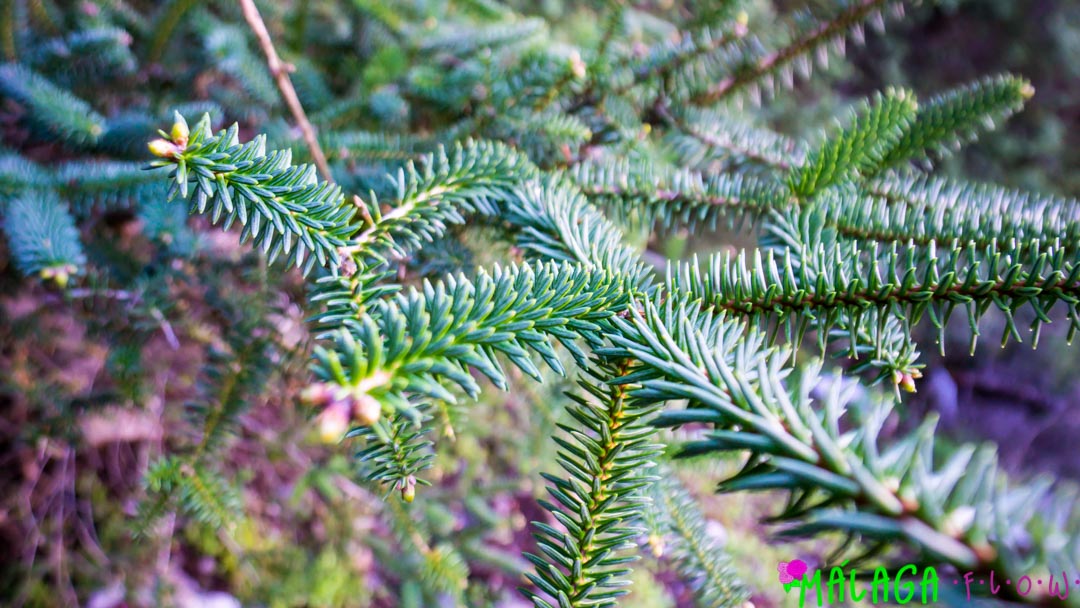
With the local effects of global warming, we realized that this astonishingly big tree might not be around forever! It is truly a one of kind Fur tree that cannot be found anywhere else in the world.
Do you want to climb a mountain or enjoy a hike in the forest?
Route 1:
Okay so maybe you aren’t quite ready for an all-day hike? Our first route is the lighter of the two:
Search
The application will try sending you down a private road to a property which is not what we want to happen! (Howdy neighbor, do you know where Mirador de Luis Ceballos is?)
Follow the highlighted blue trail down the dirt road from Yunquera. Google Maps tries sending you down the first left.
Welcome to Mirador de Luis Ceballos!

Please use the above photo of the map for reference. The first blue marker in the top right of the map is the parking lot for reference.
Park your car, the trailhead starts to the right of the viewpoint.
At the first trail fork, go left (it’s is only a few meters after the start of the trailhead). Follow the trail until the next trail fork with trail signs. Take the turn to the Panoramica (a right) and proceed.
La Panoramica

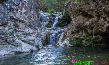
Enjoy the next viewpoint with water and food (pictured above). At this point you have two options, you can either turn around and go back to
If you choose the circular pathway, see the second marker on the map above for where you turn left. Look for a Cairn (it is around 15 meters before the
This is not a super hard hike, it will have some good uphill sections leading up to the Panoramica, it is well worth the view at the end. But what goes up, must come down, no? It is ruffly 3.38 miles or 5.4 Kilometers in length and 1336 feet or 407 meters of elevation gain.
So you want to climb a mountain eh?
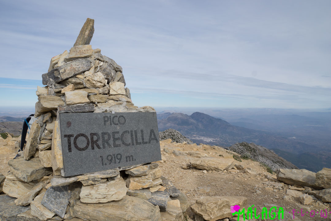
Route 2:
Torrecilla is the second tallest peak in all of Málaga, at a comfy 1919 meters high. There are two ways to approach this long day hike. The west side approach is easier than the east side, but both are well marked with trail signs and trail markers the whole way to the top. The west side approach requires a lot more driving as you will need to drive through Ronda to get to the trailhead. However, we are not going to go into much detail on this as they are both well documented online. But please note this hike is more geared towards an experienced hiker who is in good shape and has climbed mountains before.
Check out the below link to help you figure out how to get to the top. Also, the second blue marker on the below map pictured above is the parking lot for the East side approach.
Routes To The Top of Torrecilla
The guys who build these route descriptions deserve some credit because they do an amazing job every step of the way to the top. I also decided to attach one more map just


